Diploma in Ground Stations
The objective of the diploma in ground stations is to train qualified professionals for the operation and maintenance of Satellite Communications and Telemetry and Control systems.
The degree will provide students with a solid training in the technological and management fundamentals necessary to operate and maintain both communications systems and telemetry, telecommand and control systems for space systems.
The objectives are to provide students with a deep understanding of the technology and performance of Satellite Earth Stations, as well as practical skills in their operation and applications in satellite telemetry and control. In addition, the program will prepare students to face future challenges and opportunities in this constantly evolving field.
The objective is for students to understand the importance of Satellite Earth Stations in satellite telemetry and control and their role in the space industry, including space research, satellite tracking and monitoring, and their use in the satellite telemetry and control industry.
The Diploma may be taken by students graduated or about to graduate in related careers, professional staff performing similar tasks in different institutions, staff of government agencies in the area of interest and not only in Argentina, but also in Latin America.
During the course, students will develop practical activities in MW Labs and will live a real experience operating as trainees in different types of ground stations sharing experiences with the Ground Station crews. The University will provide arrangements with the National Administration and Station Owners to enable the hands-on experience.
The Academic Director is Mg. Hugo D. Miguel and the first edition begins in March 2025.
Minimum contents of the subjects
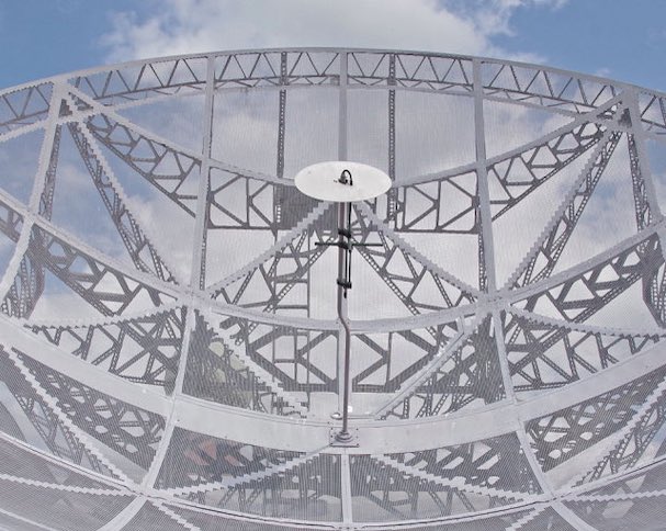
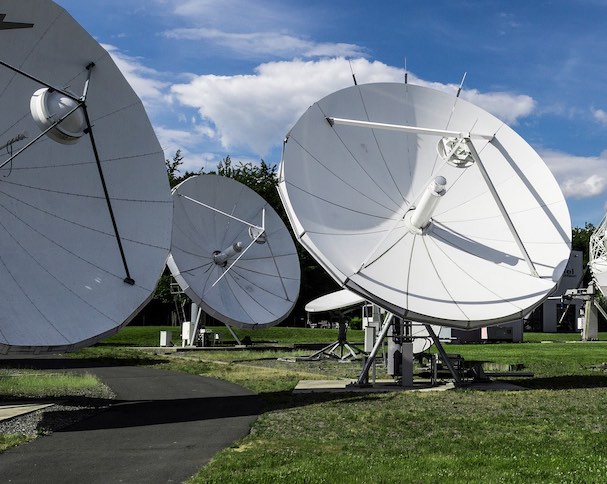
GROUND STATION ANTENNAS
- Introduction
- Antenna configurations
- Antenna mounts
- Geometry of parabolic antennas
- Antenna parameters
- Antenna standards
- Ground station site selection
TRACKING AND MONITORING SYSTEMS
- Introduction
- Maintenance of satellite stations
- Geostationary satellite viewing angles
- IESS (Intelsat Earth Station Standards)
- Antenna gain rolloff
- Tracking systems
POWER AMPLIFIERS
- Power rating
- Types of power amplifiers
- Power combining (multiplexing) Common terminology used with power amplifiers
LOW NOISE AMPLIFIERS
- Introduction
- Noise
- FET Amplifiers
FREQUENCY CONVERTERS
- Introduction
- Frequency conversion principle
- Frequency converters
EARTH STATION TEST EQUIPMENT and MEASUREMENT UNITS
- Introduction
- Power meter
- Frequency counter
- Microwave Link Analyzer
- Set of BER tests
- Spectrum analyzer
- Units of measure
GROUND STATION DESIGN
- Introduction
- Performance objectives
- Link budget
- Examples
WAVEGUIDES AND POWER SUPPLIES
- Difference between waveguide and coaxial line
- Types of waveguide
- Circular waveguide
- Waveguide propagation modes
- Waveguide impedance matching devices
- Disadvantages/demerits of the waveguide
- Waveguide dimensions
TECHNICAL ASPECTS OF MSS SYSTEMS
- System architecture
- System architecture and network control
- System architecture and network control overview
- MSS
TRAFFIC
- Traffic planning
- Long-term planning
- Short-term planning
RF USAGE
- Channel management
- Channel assignment methods
- Multiple access demand assigned
- Satellite diversity and handover
- Channel assignment and interference avoidance
MSS GROUND AND SPACE SEGMENTS
- General characteristics of mobile ground stations
- General characteristics of MSS space segments
- Selection of constellation parameters
GATEWAY GROUND STATIONS
- Gateway ground station: its operation and management
- Generalities
- Maintenance repairs
- Principles of MSS systems engineering
- Satellite Antenna Coverage and Beam Patterns
- Carrier modulation and multiple access techniques
- Carrier modulation
- Multi-access schemes
- Links design
- Configuration of a mobile satellite link
- Link design for mobile satellite systems
- Example of direct link design
- Example of returned link design
TYPES OF EARTH OBSERVATION IMAGES
- Passive images
- Panchromatic
- Multispectral
- Custom sharpening
- Hyperspectral
- Microwave radiometry
- Active images
- Synthetic aperture radar
- LiDAR
- Radar Altimetry
- GNSS-R
- Radar scatterometry
- Radar interferometry
PARAMETERS RELATED TO EO IMAGES
- Spatial resolution
- Scene size
- Review time
- Other parameters related to image quality
- Accessibility of EO products